
Cicerone Groot-Brittanië & Ierland|Kaartgids Walking the Ridgeway booklet
€9.19
Wandelkaarten in klein boekje, van the Ridgeway. Gedetailleerde kaarten, gebaseerd op Ordnance Survey materiaal.
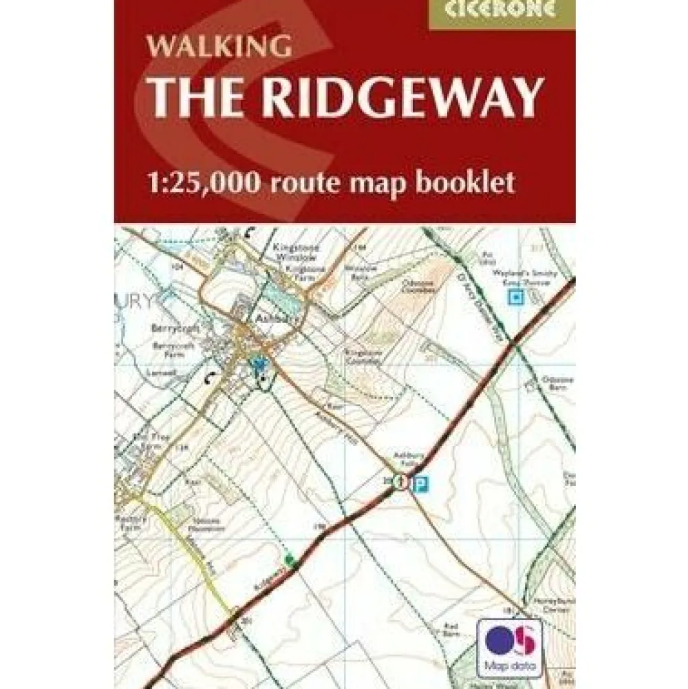
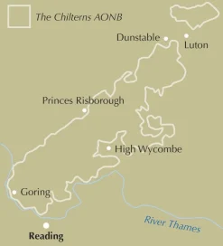
Map of the 87 mile (139km) Ridgeway National Trail through the south of England from Avebury in Wiltshire to Ivinghoe Beacon in Buckinghamshire. This booklet is included with the Cicerone guidebook to the trail, and shows the full route on Ordnance Survey 1:25,000 maps. Presented in 12 stages in the guidebook, the trail typically takes 6-8 days.
All the mapping you need to walk the Ridgeway National Trail an 87-mile (139km) route through southern England from Avebury in Wiltshire to Ivinghoe Beacon in Buckinghamshire. Following a ridge of chalk hills through the Chiltern Hills AONB and North Wessex Downs AONB, the Ridgeway is usually completed over 6-8 days and can be walked all year round.
This booklet of Ordnance Survey 1:25,000 Explorer maps shows the full line of the National Trail, along with the relevant extract from the OS Explorer map legend. It can be used when walking the trail in either direction, and is just the right size for slipping into a jacket pocket or top of a rucksack.
Bekijk alle
PRODUCTINFORMATIE CICERONE KAARTGIDS WALKING THE RIDGEWAY BOOKLET
Be the first to review “Cicerone Groot-Brittanië & Ierland|Kaartgids Walking the Ridgeway booklet”
Related products


Boeken & Kaarten
Boeken & Kaarten
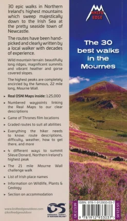
Knife Edge Groot-Brittanië & Ierland|Wandelgids Northern Ireland – The Mourne Mountains
Boeken & Kaarten
Boeken & Kaarten

Boeken & Kaarten
Michelin Groot-Brittanië & Ierland|Groene Reisgids Weekend Edinburgh
Boeken & Kaarten
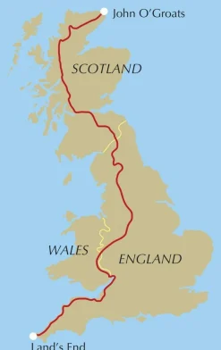
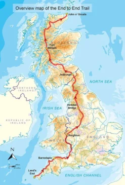
Cicerone Groot-Brittanië & Ierland|Wandelgids End to End Trail

Boeken & Kaarten


Boeken & Kaarten
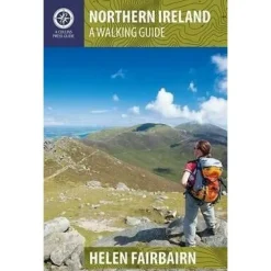
Collins Groot-Brittanië & Ierland|Walking guide to Northern Ireland
Boeken & Kaarten
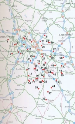
AA Publishing Groot-Brittanië & Ierland|50 Walks in Warwickshire & the West Midlands

Boeken & Kaarten
Boeken & Kaarten
Login
Reviews
There are no reviews yet.