


Cicerone Spanje & Portugal|Wandelgids Canary Islands GR131
Original price was: €25.76.€18.30Current price is: €18.30.
Compacte, Engelstalige wandelgids van de gehele GR131 over de verschillende Canarische Eilanden,
- Goede beschrijving van de etappes
- Kaartmateriaal per etappe schaal 1:50.000
- Lijst met accommodatiemogelijkheden met contactgegevens
- Informatie over inter-eiland transport
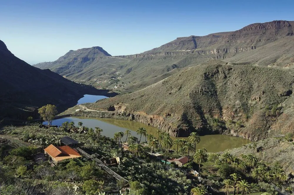
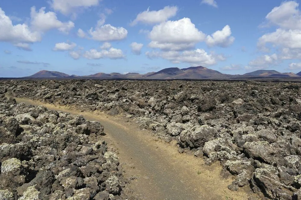
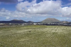
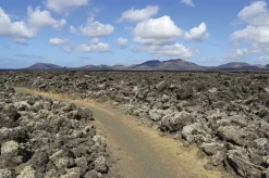
This guidebook provides a comprehensive and detailed description of the GR131, an island-hopping trail across the seven Canary Islands. The 560km (348 mile) route begins on Lanzarote and finishes on El Hierro and is presented in 32 daily stages. The route is well waymarked but some navigational skills are required, and the remote and occasional rocky sections need to be treated with care. Also included is an optional ascent of El Teide, the highest peak on Spanish territory at 3718m.
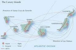
- Lanzarote
- Stage 1 Órzola to Haría
- Stage 2 Haría to Teguise
- Stage 3 Teguise to Montaña Blanca
- Stage 4 Montaña Blanca to Yaiza
- Stage 5 Yaiza to Playa Blanca
- Fuerteventura
- Stage 6 Islote de Lobos
- Stage 7 Corralejo to La Oliva
- Stage 8 La Oliva to Tefía
- Stage 9 Tefía to Betancuria
- Stage 10 Betancuria to Pájara
- Stage 11 Pájara to La Pared
- Stage 12 La Pared to Barranco de Pecenescal
- Stage 13 Barranco de Pecenescal to Morro Jable
- Stage 14 Morro Jable to Faro de Jandía
- Gran Canaria
- Stage 15 Faro de Maspalomas to Ayagaures
- Stage 16 Ayagaures to Tunte
- Stage 17 Tunte to Cruz de Tejeda
- Stage 18 Cruz de Tejeda to Tamadaba
- Stage 19 Tamadaba to Puerto de las Nieves
- Tenerife
- Stage 20 La Esperanza to La Caldera
- Stage 21 La Caldera to El Portillo
- Optional route Ascent of El Teide
- Stage 22 El Portillo to Parador
- Stage 23 Parador to Vilaflor
- Stage 24 Vilaflor to Arona
- La Gomera
- Stage 25 San Sebastián to Chipude
- Stage 26 Chipude to Playa de Vallehermoso
- La Palma
- Stage 27 Faro de Fuencaliente to Fuencaliente
- Stage 28 Fuencaliente to Refugio El Pilar
- Stage 29 Refugio El Pilar to Roque de los Muchachos
- Stage 30 Roque de los Muchachos to Puerto de Tazacorte
- El Hierro
- Stage 31 Puerto de la Estaca or Tamaduste to Fuente de La Llanía
- Stage 32 Fuente de La Llanía to Embarcadero de Orchilla
- The guide is split into seven parts, one for each island. Overview statistics, detailed navigational description and 1:50,000 mapping is provided for each stage and the guide also includes key information about transport to and between the Canary Islands and availability of accommodation and services. There is background information on the geology, history, plants and wildlife and notes on local points of interest. An appendix contains a helpful glossary.
- As a geologically young area, the Canaries boast rare wildlife across their dramatic volcanic terrain. The islands contain a number of national parks, and the landscape varies from semi-desert to forests and barren mountainsides. This month-long route is a great opportunity for walkers to fully immerse themselves in the diverse culture and scenery of the Canary Islands.
Bekijk alle
PRODUCTINFORMATIE CICERONE WANDELGIDS CANARY ISLANDS GR131
Be the first to review “Cicerone Spanje & Portugal|Wandelgids Canary Islands GR131”
Related products
Boeken & Kaarten
Mountainmedia Groot-Brittanië & Ierland|Scotland end to end Gore-Tex

Boeken & Kaarten


Boeken & Kaarten
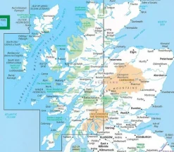
Freytag en Berndt Groot-Brittanië & Ierland|Wegenkaart Schotland
Boeken & Kaarten
Boeken & Kaarten
Boeken & Kaarten
Boeken & Kaarten
Harvey Maps Groot-Brittanië & Ierland|Wandelkaart Ultramap XT40 Yorkshire Dales South West
Boeken & Kaarten
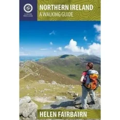
Collins Groot-Brittanië & Ierland|Walking guide to Northern Ireland

Boeken & Kaarten
Bantam Press Groot-Brittanië & Ierland|A Curious guide to London
Boeken & Kaarten
Login
Reviews
There are no reviews yet.