
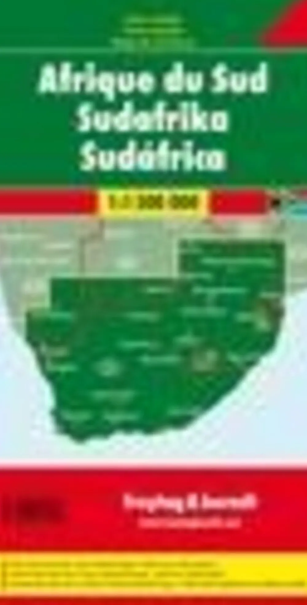
Freytag & Berndt Afrika|Zuid-Afrika, Kruger NP Kaapstad wegenkaart
€12.87
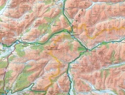
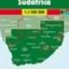
Very effective relief shading with spot heights and graphics for swamps or mangrove areas and coral reefs provide good representation of the country’s topography.
Road network includes selected local tracks; intermediate distances are given on main routes. Railways, local airports and ferry routes are shown, as well as the country’s internal administrative boundaries with names of the provinces. National parks and other protected areas are highlighted, and symbols mark locations of various places of interest, including temples, beaches, caves, etc.
Bekijk alle
PRODUCTINFORMATIE FREYTAG & BERNDT ZUID-AFRIKA, KRUGER NP KAAPSTAD WEGENKAART
Be the first to review “Freytag & Berndt Afrika|Zuid-Afrika, Kruger NP Kaapstad wegenkaart”
Related products
Boeken & Kaarten


Boeken & Kaarten
Mountainmedia Groot-Brittanië & Ierland|Scotland end to end Gore-Tex
Boeken & Kaarten
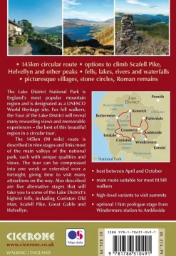
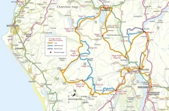
Cicerone Groot-Brittanië & Ierland|Wandelgids Walking the Tour of the Lake District

Boeken & Kaarten
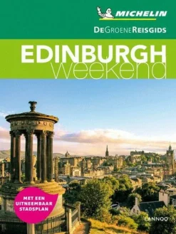
Michelin Groot-Brittanië & Ierland|Groene Reisgids Weekend Edinburgh
Boeken & Kaarten
Boeken & Kaarten
Boeken & Kaarten
Boeken & Kaarten
Login
Reviews
There are no reviews yet.