
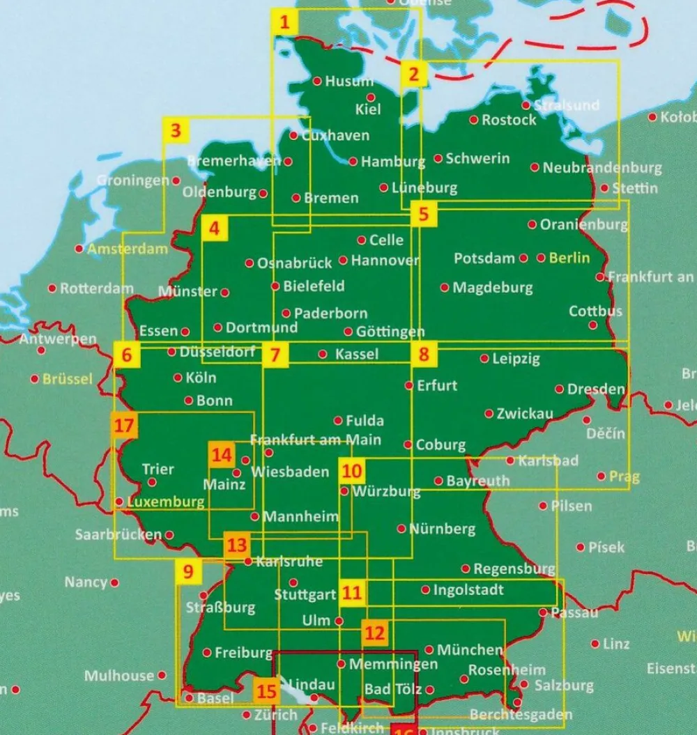
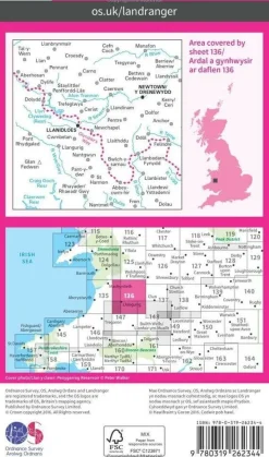
Freytag & Berndt Duitsland|Wegenkaart 03 Ostfriesland – Münsterland
€11.95
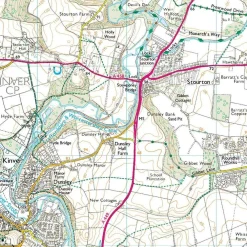
A detailed road maps at 1:150,000 scale covering East Frisia – Munsterland – Bremen
Now with digital booklet and index – all information quickly and conveniently on your mobile phone!
Road information includes intermediate driving distances, toll routes, scenic roads and tourist routes, steep gradients, caravan traffic restrictions, seasonal closures on mountain roads, etc. Railways, cable cars, ferries and airfields are also shown. Selected cycle routes and long distance hiking trails are included.
Symbols mark various landmarks, places of interest and facilities, e.g. selected hotels, campsites, historical and architectural sites, etc.
Bekijk alle
PRODUCTINFORMATIE FREYTAG & BERNDT WEGENKAART 03 OSTFRIESLAND – MÜNSTERLAND
Be the first to review “Freytag & Berndt Duitsland|Wegenkaart 03 Ostfriesland – Münsterland”
Related products
Boeken & Kaarten
Boeken & Kaarten
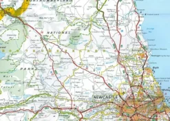
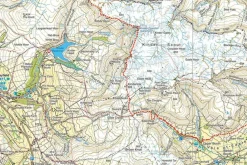
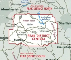
Harvey Maps Groot-Brittanië & Ierland|Wandelkaart Ultramap XT40 Peak District Central
Boeken & Kaarten
Michelin Groot-Brittanië & Ierland|Groene Reisgids Weekend Edinburgh
Boeken & Kaarten
Knife Edge Groot-Brittanië & Ierland|Wandelgids Northern Ireland – The Mourne Mountains


Boeken & Kaarten
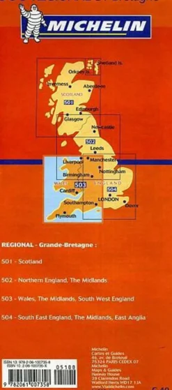
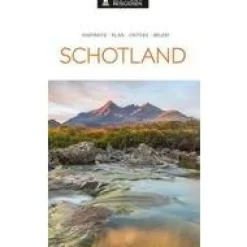
Freytag en Berndt Groot-Brittanië & Ierland|Wegenkaart Schotland

Boeken & Kaarten
Boeken & Kaarten
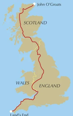
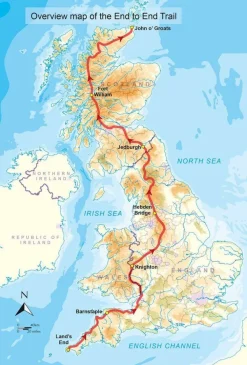
Cicerone Groot-Brittanië & Ierland|Wandelgids End to End Trail
Boeken & Kaarten
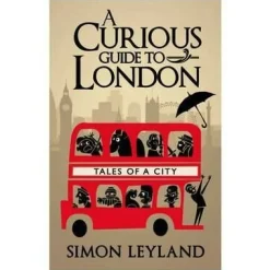
Bantam Press Groot-Brittanië & Ierland|A Curious guide to London
Boeken & Kaarten

Boeken & Kaarten
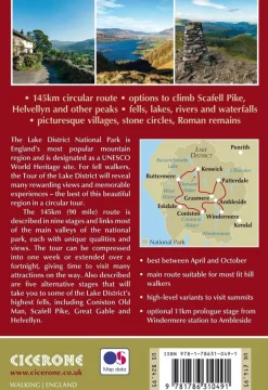
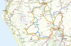
Cicerone Groot-Brittanië & Ierland|Wandelgids Walking the Tour of the Lake District


Login
Reviews
There are no reviews yet.