

ITMB Canada|Wegenkaart Algonquin Provincial Park
Original price was: €13.80.€10.11Current price is: €10.11.
Overzichtskaart van Algonquin Provincial Park:
- gedrukt op waterproof en schuerbestendig papier
- plaatsen en wegen
- spoorlijnen en rivieren
- hoogten, lengte- en breedtegraden
- schaal 1:250.000 (1 cm = 2,5 km)
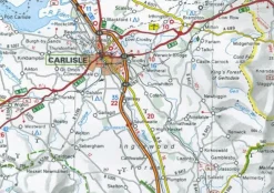
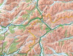
Algonquin is an enormous tract of land in central Ontario, Canada, that was set aside as a wilderness preserve generations ago. About the size of Belgium, this preserve of lakes scattered across the Great Canadian Shield consists of dozens of canoe routes, hiking trails, and camping sites in a protected environment that is a national treasure. Our map shows the park and its attractions on one side, and the southern portion (the most used) on the other side. This map is ideal for planning a canoe trip, and canoes can be rented in the park itself. Europeans, as well as Americans, flock to Algonquin, as it is the destination of choice for anyone wanting to ‘get away from it all’. Printed on ITM plastic paper, double-sided.
Bekijk alle
PRODUCTINFORMATIE ITMB WEGENKAART ALGONQUIN PROVINCIAL PARK
Be the first to review “ITMB Canada|Wegenkaart Algonquin Provincial Park”
Related products
Boeken & Kaarten
Boeken & Kaarten

Boeken & Kaarten
Bantam Press Groot-Brittanië & Ierland|A Curious guide to London
Boeken & Kaarten
Harvey Maps Groot-Brittanië & Ierland|Wandelkaart Ultramap XT40 Yorkshire Dales South West
Boeken & Kaarten
Boeken & Kaarten
Collins Groot-Brittanië & Ierland|Walking guide to Northern Ireland
Boeken & Kaarten
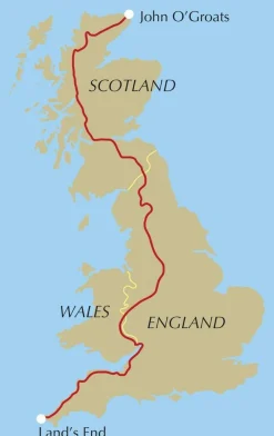
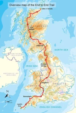
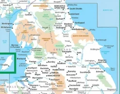
Cicerone Groot-Brittanië & Ierland|Wandelgids End to End Trail

Boeken & Kaarten
Login

Reviews
There are no reviews yet.