
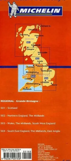
Michelin Groot-Brittanië & Ierland|Wegenkaart 712 Ierland
€10.11
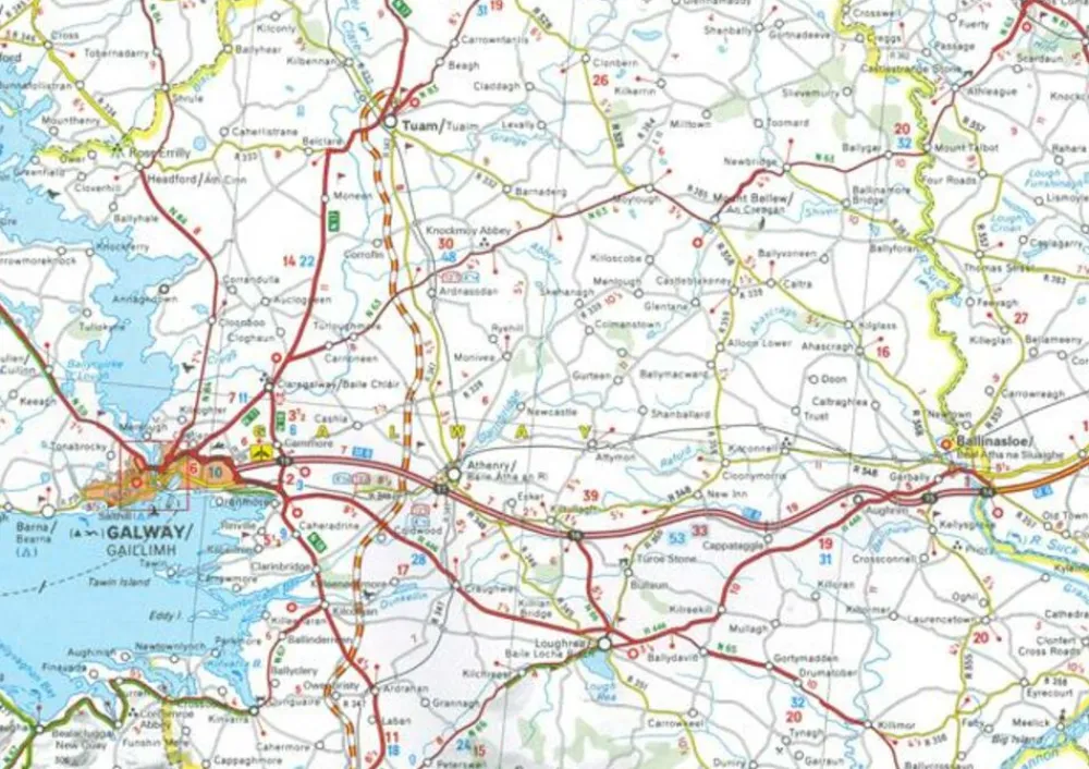
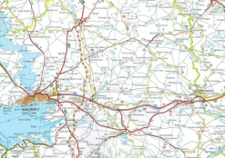
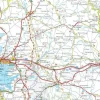
Wegenkaart 712 van Ierland:
- schaal 1:400.000 ( 1 cm = 4 km)
- pittoreske wegen zijn groen gearceerd
- afstanden tussen plaatsen
- plaatsnamenindex
- tankstations
- tolwegen
- toeristische bezienswaardigheden
- campings
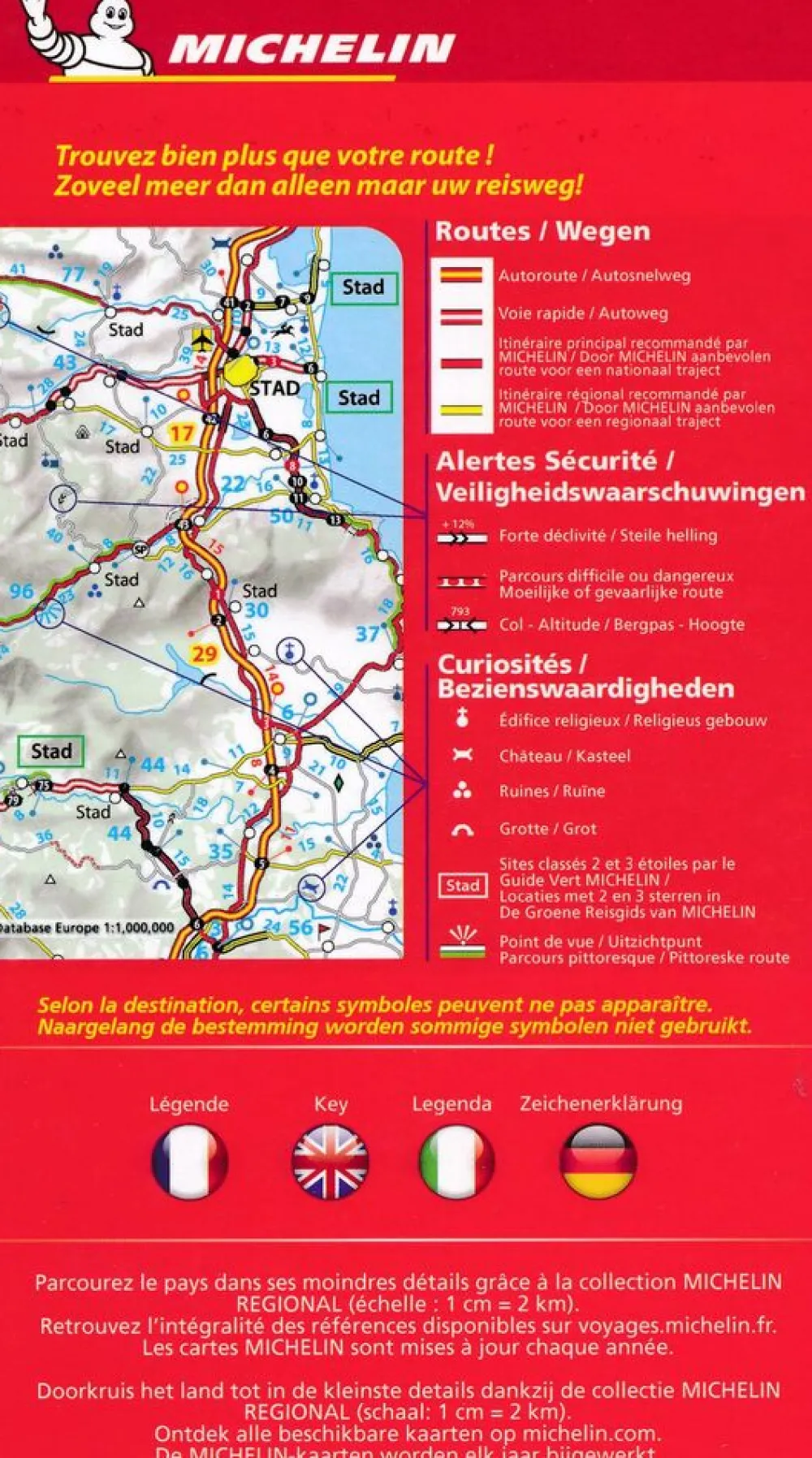
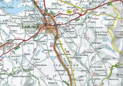
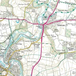
This Ireland map from Michelin is part of their red national map series. These are perfect for route planning as well as getting around by car once you’re there. They clearly mark out major roads and also show many of the more important minor roads. A couple of insets showing enlargements of Dublin and environs at 1:120 000 and Belfast and environs, also at 1:120 000, are included.
The map’s simple folding design with durable paper cover, allows it to be read like a book and easily folded back together. Road numbers and intermediate distances are clearly displayed with the more scenic routes highlighted in green.
The map also features:
- political boundaries
- Regional and National Parks
- Important sights such as castles, ruins, and churches
- Driving Times and Distances
- Road Safety Information
- A legend in multiple languages (Dutch, English, French, German and Spanish)
Bekijk alle
PRODUCTINFORMATIE MICHELIN WEGENKAART 712 IERLAND
Be the first to review “Michelin Groot-Brittanië & Ierland|Wegenkaart 712 Ierland”
Related products


Boeken & Kaarten
Boeken & Kaarten
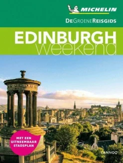
Michelin Groot-Brittanië & Ierland|Groene Reisgids Weekend Edinburgh
Boeken & Kaarten
Collins Groot-Brittanië & Ierland|Walking guide to Northern Ireland

Boeken & Kaarten
Harvey Maps Groot-Brittanië & Ierland|Wandelkaart Ultramap XT40 Peak District Central
Boeken & Kaarten
Bantam Press Groot-Brittanië & Ierland|A Curious guide to London
Boeken & Kaarten
Boeken & Kaarten
Harvey Maps Groot-Brittanië & Ierland|Wandelkaart Ultramap XT40 Yorkshire Dales South West
Boeken & Kaarten


Boeken & Kaarten
Freytag en Berndt Groot-Brittanië & Ierland|Wegenkaart Schotland
Login
Reviews
There are no reviews yet.