
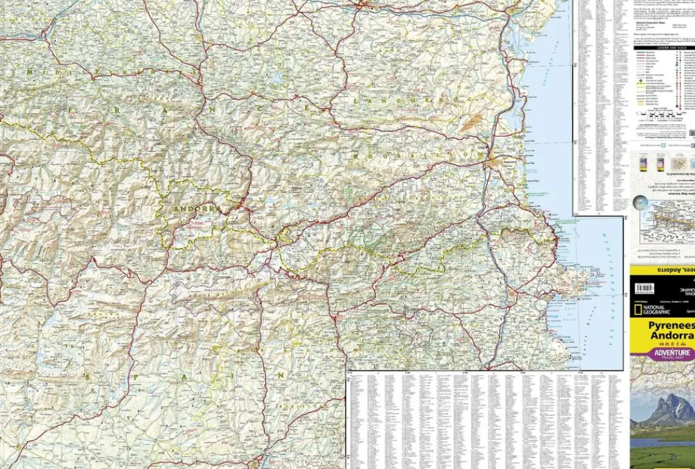
National Geographic Frankrijk|Wegenkaart Pyreneeen & Andorra 1:275.000
€13.79
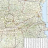
Watervaste en scheurbestendige wegenkaart van de Pyreneeën. Met toeristische informatie.
-schaal 1:275.000
-gedrukt op waterproof en scheurbestendig papier
-pittoreske wegen groen gearceerd
-hoogtelijnen
-toeristische symbolen voor de belangrijkste bezienswaardigheden
National Geographic’s Pyrenees and Andorra Adventure Map is designed to meet the unique needs of adventure travelers—detailed, durable, and accurate. Pyrenees/Andorra includes the locations of thousands of major cities and towns with an index for easily locating them, plus a clearly marked road network complete with distances and designations for expressways, motorways, scenic routes, and more.
What sets National Geographic AdventureMaps apart from traditional road maps are the hundreds of points of interest that highlight the diverse and unique destinations within the Pyrenees and Andorra. National parks, World Heritage sites, scenic viewpoints, antiquity sites, museums, places of worship, zoos, castles and more are included, making it invaluable to travelers hoping to experience all the history, art, and culture the region has to offer. Beaches and yachting harbors dot Spain and France’s Mediterranean coastlines while the location of golf courses, camping sites, waterfalls, caves, and ski areas make it easy to enjoy the region’s abundant outdoor activities. Users will find a variety of helpful travel aids on our map as well, including the location of airports, airfields, railroads, lighthouses, and petrol stations.
Bekijk alle
PRODUCTINFORMATIE NATIONAL GEOGRAPHIC WEGENKAART PYRENEEEN & ANDORRA 1:275.000
Be the first to review “National Geographic Frankrijk|Wegenkaart Pyreneeen & Andorra 1:275.000”
Related products
Boeken & Kaarten
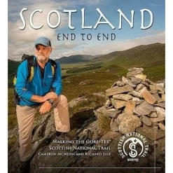
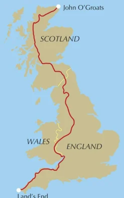
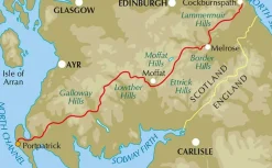
Mountainmedia Groot-Brittanië & Ierland|Scotland end to end Gore-Tex


Boeken & Kaarten
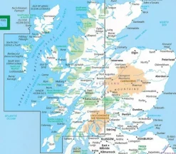
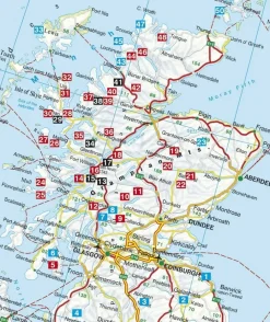
Freytag en Berndt Groot-Brittanië & Ierland|Wegenkaart Schotland
Boeken & Kaarten
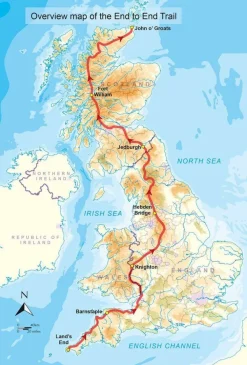
Cicerone Groot-Brittanië & Ierland|Wandelgids End to End Trail
Boeken & Kaarten
Boeken & Kaarten
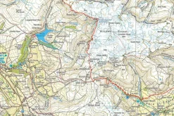
Harvey Maps Groot-Brittanië & Ierland|Wandelkaart Ultramap XT40 Yorkshire Dales South West
Boeken & Kaarten
Michelin Groot-Brittanië & Ierland|Groene Reisgids Weekend Edinburgh
Boeken & Kaarten
Login
Reviews
There are no reviews yet.