
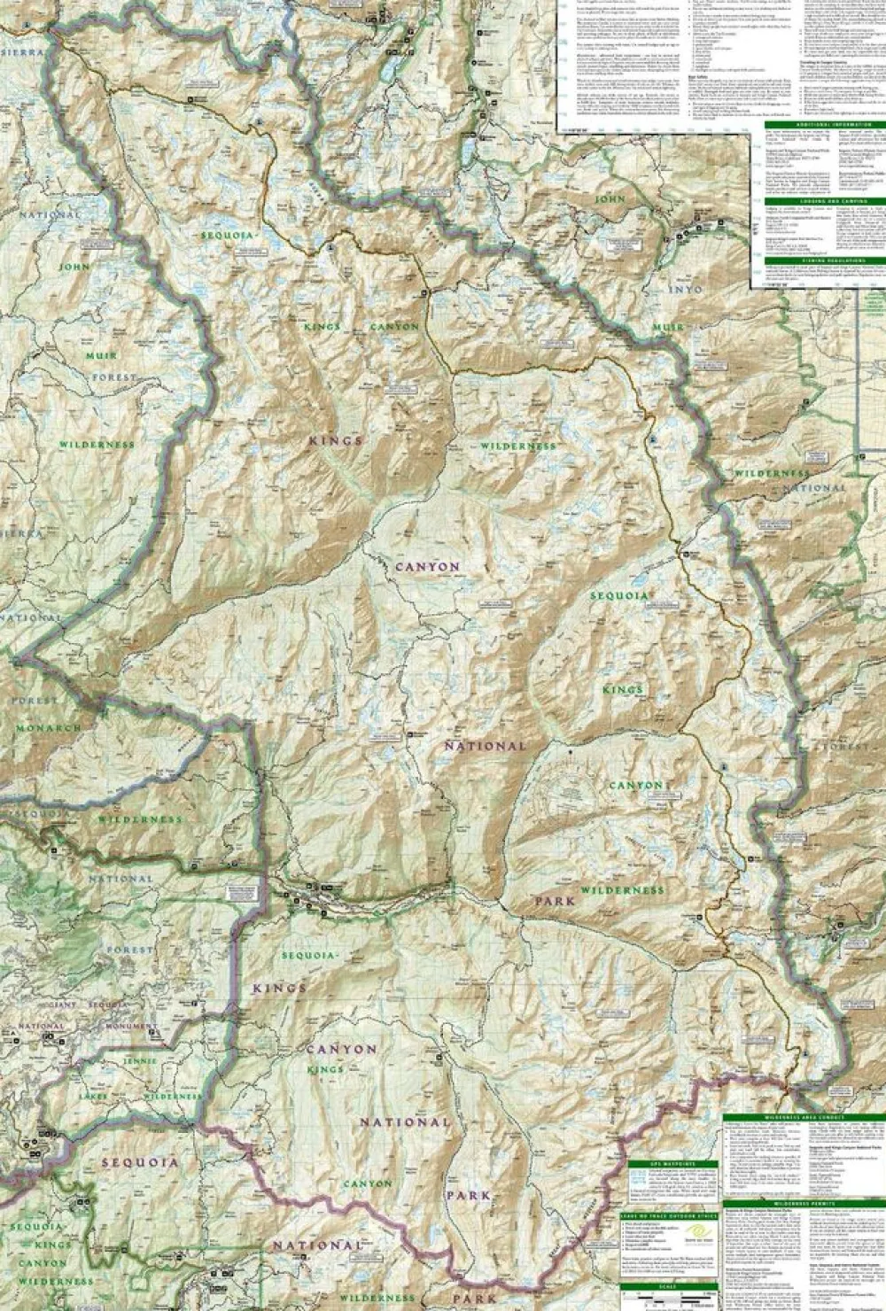
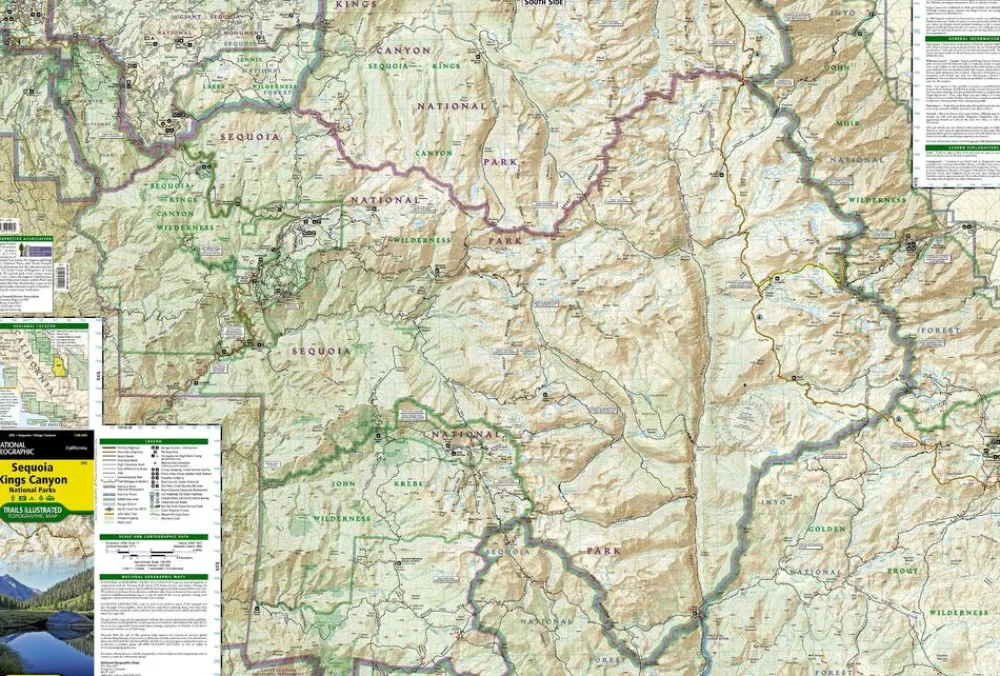

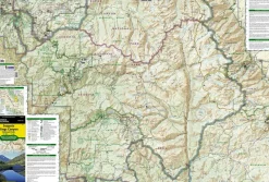
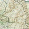
National Geographic Verenigde Staten|Wandelkaar 205 Sequoia – Kings Canyon NP
€11.86
Gedetaileerde wandelkaart van Sequoia & Kings Canyon National Parks:
- gedrukt op waterproof en scheurbestendig papier
- met ingetekende wandelpaden en campsites
- schaal 1:126.720 (1 cm = 1,27 km)
- hoogtelijnen
- mooi kleurgebruik
- GPS-compatible
Trails Illustrated maps are the most trusted and popular recreation maps available. Continually setting the standard for accuracy, each map is crafted in conjunction with local land managers, and undergoes rigorous review and enhancement before being printed on waterproof, tear-resistant material.
Each Trails Illustrated map contains detailed topographic information, clearly marked and named trails, recreational points of interest, and navigational aids. National Park series maps contain useful details for planning your visit. State series titles cover popular recreation areas, ideal for done-in-a-day activities.
Bekijk alle
PRODUCTINFORMATIE NATIONAL GEOGRAPHIC WANDELKAAR 205 SEQUOIA – KINGS CANYON NP
Be the first to review “National Geographic Verenigde Staten|Wandelkaar 205 Sequoia – Kings Canyon NP”
Related products


Boeken & Kaarten
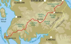
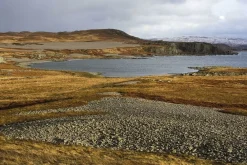
Freytag en Berndt Groot-Brittanië & Ierland|Wegenkaart Schotland

Boeken & Kaarten
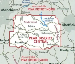
Harvey Maps Groot-Brittanië & Ierland|Wandelkaart Ultramap XT40 Peak District Central
Boeken & Kaarten
Boeken & Kaarten
Harvey Maps Groot-Brittanië & Ierland|Wandelkaart Ultramap XT40 Yorkshire Dales South West

Boeken & Kaarten
Boeken & Kaarten


Boeken & Kaarten

Boeken & Kaarten
Boeken & Kaarten
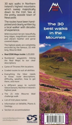
Knife Edge Groot-Brittanië & Ierland|Wandelgids Northern Ireland – The Mourne Mountains
Login
Reviews
There are no reviews yet.