
National Geographic Verenigde Staten|Wandelkaart 217 National Park Mount Rainier
€13.70
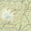
Topografische wandelkaart, scheurbestendig en watervast, van Mount Rainier National Park
-gedrukt op waterproof en scheurbestendig papier
-met ingetekende wandelpaden en campsites
-schaal 1:55.000 (1 cm = 550 m)
-hoogtelijnen
-mooi kleurgebruik
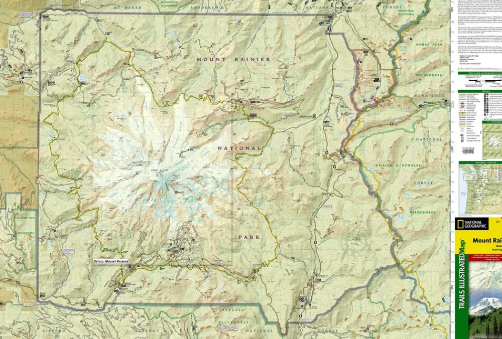
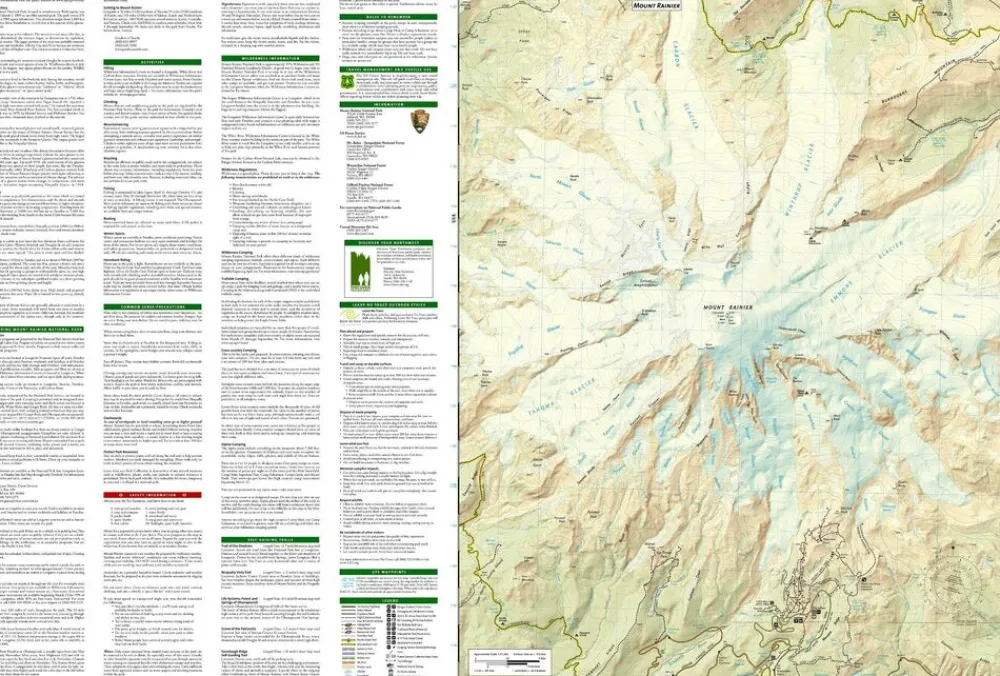
Within the park, there is detailed coverage of Mount Rainier and its many glaciers, Eagles Roost, Cataract Valley, Mystic, Emmons Overlook, Indian Bar, Maple Creek, Snow Lake, Paradise River, Jackson, and many other camping areas. A detailed inset gives you a close-up view of the peak and trails leading to its glaciers. The trails have been enhanced and road and trail mileage have been added to create a more usable map. UTM grids have also been added to make it more usable with your GPS.
Bekijk alle
PRODUCTINFORMATIE NATIONAL GEOGRAPHIC WANDELKAART 217 NATIONAL PARK MOUNT RAINIER
Be the first to review “National Geographic Verenigde Staten|Wandelkaart 217 National Park Mount Rainier”
Related products

Boeken & Kaarten
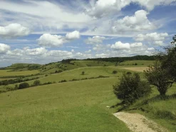
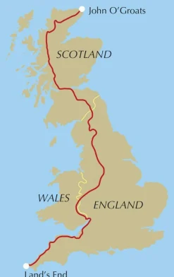
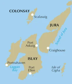
Mountainmedia Groot-Brittanië & Ierland|Scotland end to end Gore-Tex


Boeken & Kaarten
Bantam Press Groot-Brittanië & Ierland|A Curious guide to London
Boeken & Kaarten
Boeken & Kaarten
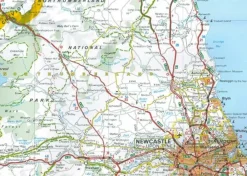
AA Publishing Groot-Brittanië & Ierland|50 Walks in Warwickshire & the West Midlands
Boeken & Kaarten
Boeken & Kaarten
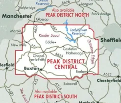
Harvey Maps Groot-Brittanië & Ierland|Wandelkaart Ultramap XT40 Peak District Central
Boeken & Kaarten
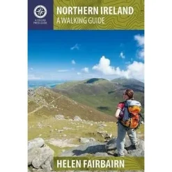
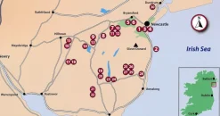
Collins Groot-Brittanië & Ierland|Walking guide to Northern Ireland
Boeken & Kaarten
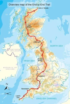
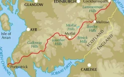
Cicerone Groot-Brittanië & Ierland|Wandelgids End to End Trail
Boeken & Kaarten
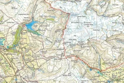
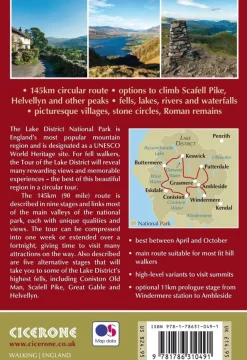
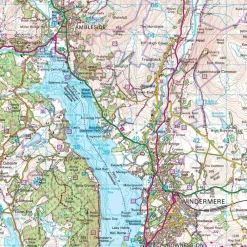
Cicerone Groot-Brittanië & Ierland|Wandelgids Walking the Tour of the Lake District
Boeken & Kaarten
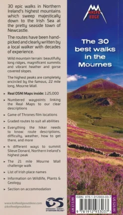
Knife Edge Groot-Brittanië & Ierland|Wandelgids Northern Ireland – The Mourne Mountains
Boeken & Kaarten
Login
Reviews
There are no reviews yet.