
National Geographic Verenigde Staten|Wandelkaart 262 Grand Canyon East
€13.79
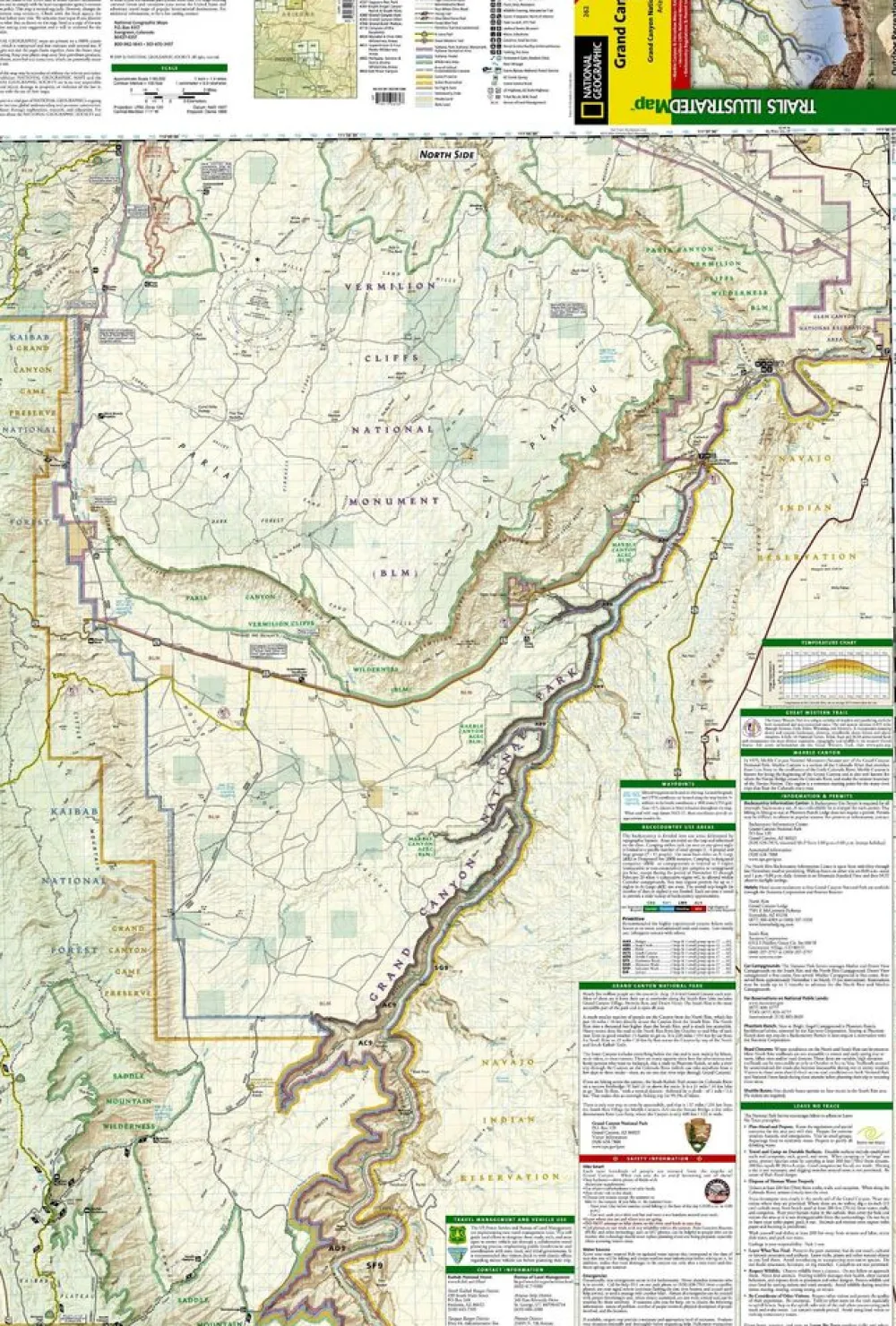
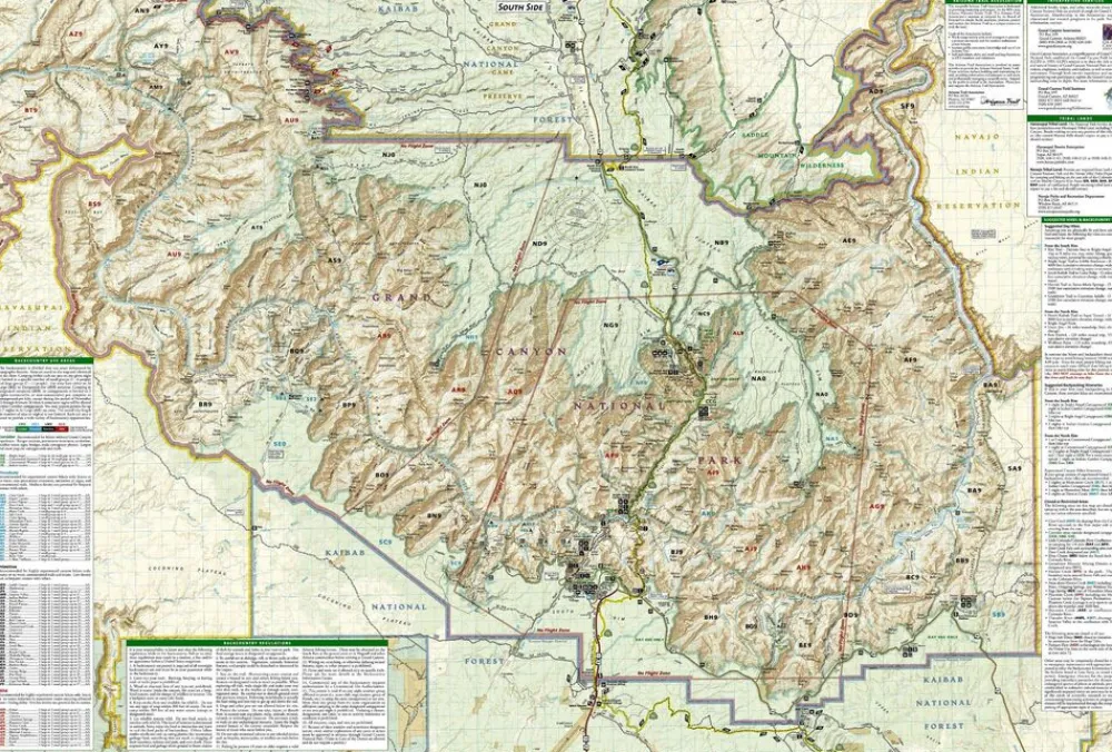
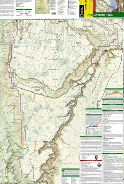
Topografische wandelkaart, scheurbestendig en watervast, van het oostelijk gedeelte van het Nationale Park Grand Canyon in Arizona.
-gedrukt op waterproof en scheurbestendig papier
-met ingetekende wandelpaden en campsites
-schaal 1:90.000 (1 cm = 900 m)
-hoogtelijnen
-mooi kleurgebruik
This map contains detailed coverage from the park’s northeastern boundary at Glen Canyon to the highly visited areas just west of Grand Canyon village on the south rim.
The map features detailed and easy-to-read trail and road networks, locations of facilities, points of interest, and highly accurate terrain with thousands of feature names. Official Grand Canyon Backcountry Use Areas are shown, coded by degree of experience required. Suggested hikes and itineraries, important park regulations, safety tips and contact information make these maps an invaluable resource.
Coverage highlights: Colorado River Miles 0-142, South Rim Visitor Center, Grand Canyon Village, Route 64 “Desert View Drive”, North Rim Visitor Center, Route 67, Marble Canyon, Paria Canyon, Vermillion Cliffs National Monument, Paria Canyon Wilderness, Coyote Buttes, House Rock Wildlife Area, Kaibab National Forest, Saddle Mountain Wilderness, Grand Canyon Game Preserve, Coconino Plateau, Arizona Trail, Great Western Trail, and more.
Bekijk alle
PRODUCTINFORMATIE NATIONAL GEOGRAPHIC WANDELKAART 262 GRAND CANYON EAST
Be the first to review “National Geographic Verenigde Staten|Wandelkaart 262 Grand Canyon East”
Related products
Boeken & Kaarten
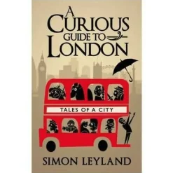
Bantam Press Groot-Brittanië & Ierland|A Curious guide to London
Boeken & Kaarten
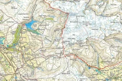
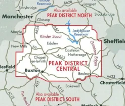
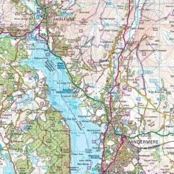
Harvey Maps Groot-Brittanië & Ierland|Wandelkaart Ultramap XT40 Peak District Central
Boeken & Kaarten
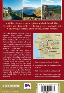
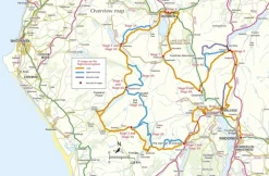
Cicerone Groot-Brittanië & Ierland|Wandelgids Walking the Tour of the Lake District

Boeken & Kaarten
Boeken & Kaarten
Boeken & Kaarten
Collins Groot-Brittanië & Ierland|Walking guide to Northern Ireland
Boeken & Kaarten
Boeken & Kaarten
Login
Reviews
There are no reviews yet.