

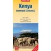
Nelles Afrika|Wegenkaart Kenia Serengeti Tanzania
€9.19
Folded road and tourist map of Kenya and the Serengeti at 1:1 100 000 scale. Places of interest, national parks, beaches and camps/lodges are all highlighted and shaded-relief colouring clearly depicts the topography.
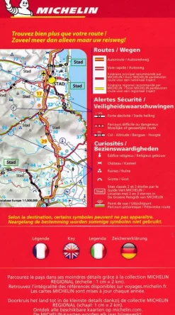
The map includes insets showing central Nairobi at 1:20 000, Mombasa at 1:33 000, Lamu Island at 1:550 000 and the Kenya coast at 1:550 000. The legend is in English, French and German.
For over 20 years Nelles maps have been renowned throughout the world for their quality, faithfulness to detail and up-to-dateness.
So that streets, ferry links, railway lines, etc are always up to date, Nelles are continuously upgrading their maps – with the help of their international team of correspondents. Roads are provided with an exact kilometerage. Sights are highlighted extra clearly so that you don’t miss any tourist attractions.
A good map must be hard-wearing and allow itself to be folded up simply and quickly. Nelles Maps are a handy pocket size with the reliable, practical concertina fold. In addition they use an extra high-quality speciality paper resulting in considerably increased fold strength.
Bekijk alle
PRODUCTINFORMATIE NELLES WEGENKAART KENIA SERENGETI TANZANIA
Be the first to review “Nelles Afrika|Wegenkaart Kenia Serengeti Tanzania”
Related products
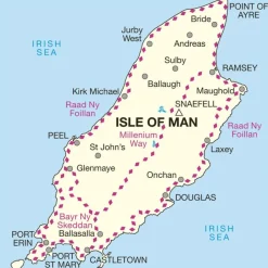
Boeken & Kaarten
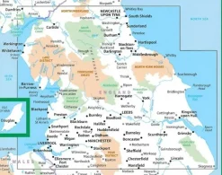
Boeken & Kaarten
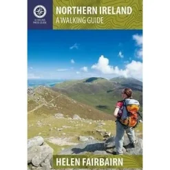
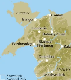
Collins Groot-Brittanië & Ierland|Walking guide to Northern Ireland

Boeken & Kaarten
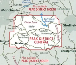
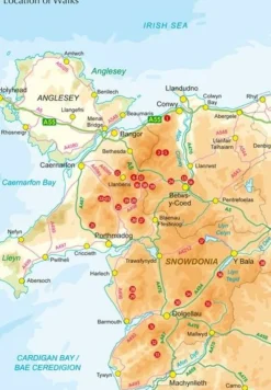
Harvey Maps Groot-Brittanië & Ierland|Wandelkaart Ultramap XT40 Peak District Central
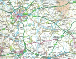
Boeken & Kaarten


Boeken & Kaarten
Michelin Groot-Brittanië & Ierland|Groene Reisgids Weekend Edinburgh
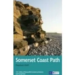
Boeken & Kaarten


Boeken & Kaarten
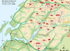
Mountainmedia Groot-Brittanië & Ierland|Scotland end to end Gore-Tex
Boeken & Kaarten
Boeken & Kaarten
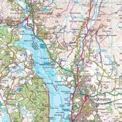
Harvey Maps Groot-Brittanië & Ierland|Wandelkaart Ultramap XT40 Yorkshire Dales South West
Login
Reviews
There are no reviews yet.