
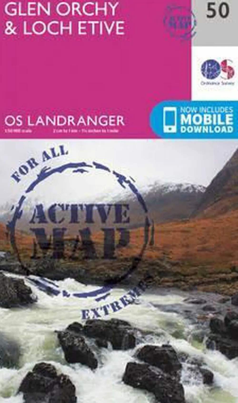
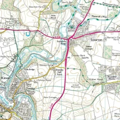
Ordnance Survey Groot-Brittanië & Ierland|Glen Orchy & Loch Etive active 050 1/50
Original price was: €24.84.€18.39Current price is: €18.39.
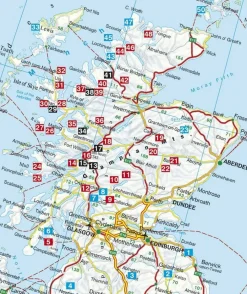
OS Landranger 50 van de kaart serie is de ideale kaart om te worden gebruikt bij het verkennen van het noorden van Loch Fyne tot Black Mount. Deze kaart dekt een deel van Loch Lomond en The Trossachs National Park en een deel van de West highland way door Glen Orchy en Loch Etvie naar het westen
De Active serie is gelamineerd en is weerbestendig.
De OS Landranger kaarten reeks heeft betrekking op Groot-Brittannië met 204 gedetailleerde kaarten, perfect voor dagtochten. Elke kaart bevat alle informatie die u nodig heeft om het gebied te leren kennen en omvat plaatsen van belang, toeristische informatie, picknickplaatsen en campings, plus doorgangsrechten informatie voor Engeland en Wales.
Productdiscription: Map number 50 in the OS Landranger map series is the ideal map to use when exploring the area from the North of Loch Fyne to Black Mount. This map covers part of Loch Lomond and The Trossachs National Park as well as a section of the West highland way through Glen Orchy and Loch Etvie to the west
The OS Landranger Map series covers Great Britain with 204 detailed maps, perfect for day trips and short breaks. Each map provides all the information you need to get to know your local area and includes places of interest, tourist information, picnic areas and camp sites, plus Rights of Way information for England and Wales.
Bekijk alle
PRODUCTINFORMATIE ORDNANCE SURVEY GLEN ORCHY & LOCH ETIVE ACTIVE 050 1/50
Be the first to review “Ordnance Survey Groot-Brittanië & Ierland|Glen Orchy & Loch Etive active 050 1/50”
Related products

Boeken & Kaarten
Boeken & Kaarten
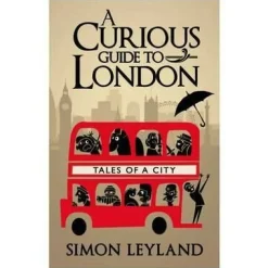
Bantam Press Groot-Brittanië & Ierland|A Curious guide to London

Boeken & Kaarten
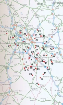
AA Publishing Groot-Brittanië & Ierland|50 Walks in Warwickshire & the West Midlands
Boeken & Kaarten
Boeken & Kaarten
Boeken & Kaarten
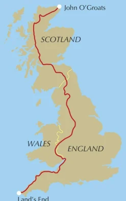
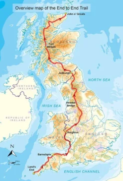
Cicerone Groot-Brittanië & Ierland|Wandelgids End to End Trail


Boeken & Kaarten
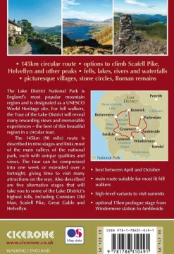
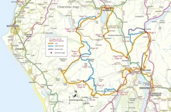
Cicerone Groot-Brittanië & Ierland|Wandelgids Walking the Tour of the Lake District
Login
Reviews
There are no reviews yet.