
Sale!

Ordnance Survey Groot-Brittanië & Ierland|Wandelkaart Explorer OL468 Shetland Mainland North East
Original price was: €21.16.€15.63Current price is: €15.63.
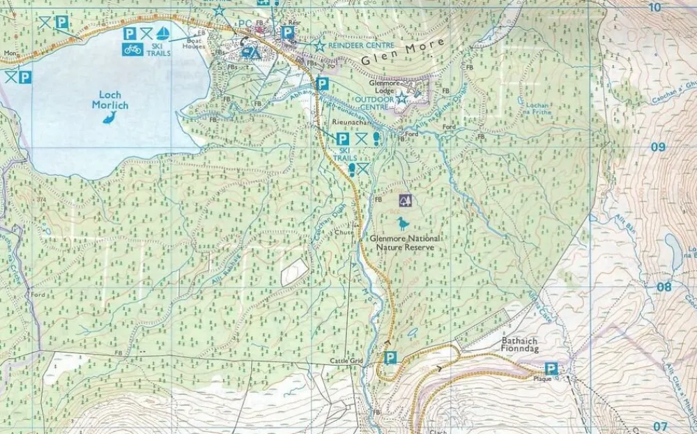
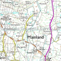
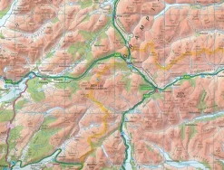
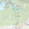
Wandelkaart Explorer OL468 Shetland Mainland North East:
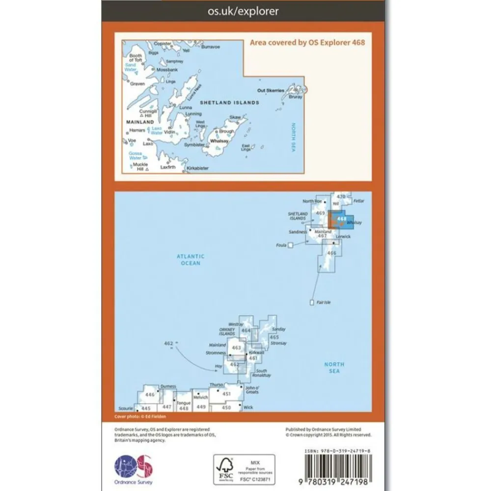
Plaatsen op de kaart: Whalsay & Out Skerries
- Schaal 1:25.000 (1 cm = 250 m)
- Public right of ways
- Places of interest
- Wandelpaden
- Landschappelijke afbakeningen zoals heggetjes
- Natuurlijke verschijnselen zoals steenval, kliffen e.d.
- Symbolen voor accommodatie
The southern end of the Setland Isles’ mainland, OS Explorer map 466 is the ideal companion for walking, cycling, birdwatching and any outdoor pursuits. This map includes Lerwick, Fair Isle and the National Scenic Area.
Bekijk alle
PRODUCTINFORMATIE ORDNANCE SURVEY WANDELKAART EXPLORER OL468 SHETLAND MAINLAND NORTH EAST
ISBN:
9780319247198
Kaartschaal:
1:25.000
Taal:
Engels
Editie:
2015
Soort:
Wandelkaart
Be the first to review “Ordnance Survey Groot-Brittanië & Ierland|Wandelkaart Explorer OL468 Shetland Mainland North East”
Related products
Sale!
Original price was: €18.40.€14.71Current price is: €14.71.
Sale!
Boeken & Kaarten
Original price was: €24.84.€18.39Current price is: €18.39.
€20.14
Boeken & Kaarten
€14.62

Boeken & Kaarten
€17.47
€10.02
Boeken & Kaarten
€14.62
Sale!
Original price was: €13.80.€10.02Current price is: €10.02.
€14.71

€10.02
Sale!
Original price was: €14.72.€10.94Current price is: €10.94.
Sale!
Boeken & Kaarten
Original price was: €13.80.€10.94Current price is: €10.94.
Boeken & Kaarten
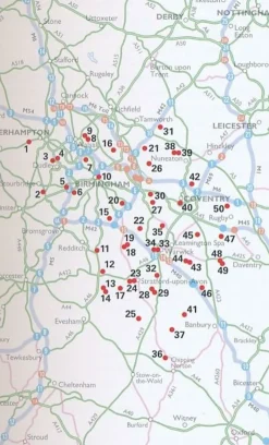
AA Publishing Groot-Brittanië & Ierland|50 Walks in Warwickshire & the West Midlands
€14.62
Sale!

Original price was: €21.16.€16.46Current price is: €16.46.
Boeken & Kaarten
Harvey Maps Groot-Brittanië & Ierland|Wandelkaart Ultramap XT40 Yorkshire Dales South West
€12.78
Sale!
Boeken & Kaarten
Original price was: €29.44.€21.06Current price is: €21.06.
Login
Reviews
There are no reviews yet.